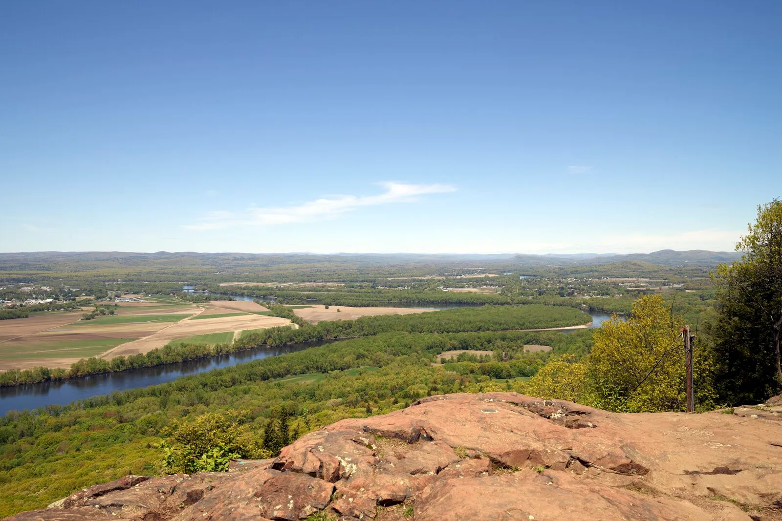
The Connecticut River is the reason the Pioneer Valley exists: the farms, the mill towns, the trap-rock ridges all line up along it. This guide strings a summer day together down the river’s middle miles, from a morning on the water to an evening looking back over it. It pairs with the Connecticut River Paddling Primer, which covers put-ins, rentals, flows, and what to bring; this is the day plan, not the how-to.
Morning: get on the water
Two good options, depending on the kind of morning you want.
The classic reach. The most popular day-paddle on the Massachusetts river is the seven-mile stretch from Sunderland south to Hadley, threading the gap between Mount Sugarloaf on the west bank and Mount Toby on the east. Broad, slow water with farm fields and forested banks; shorter out-and-backs work from either end.
The slack-water alternative. The Oxbow in Easthampton is what remains of an 1840 meander cutoff, and it paddles like a quiet lake with the Mount Tom ridge standing over it. The Oxbow Ramp has a paved lot and shares the water with rowers and power boats, so it suits a relaxed loop more than a point-to-point.
Both launches belong to Connecticut River Greenway State Park, the chain of DCR access points that is the source of truth for where to put in. If you would rather stay dry, Arcadia (below) has the same floodplain scenery on foot.
Late morning: dinosaur tracks at the river’s edge
Drive south along the river to Dinosaur Footprints in Holyoke, an eight-acre Trustees of Reservations site where a short seasonal trail from a small Route 5 turnout leads to sandstone bedrock printed with 200-million-year-old trackways. It is a half-mile stop, not a hike, and it earns its place on a river day: the tracks were left on the muddy shore of the lake and river system that preceded today’s Connecticut.
For the longer version of this story, the dinosaur tracks guide connects the footprints to the museums that hold the Valley’s fossil record.
Midday: lunch in a river town
Loop back north for lunch. Northampton has the deepest bench of restaurants in the Valley; Easthampton is closer to the Oxbow and quieter. Either sets up the afternoon.
Afternoon: the floodplain or the falls
On foot at the Oxbow. Arcadia Wildlife Sanctuary, Mass Audubon’s 751 acres of floodplain forest, marsh, and meadow on the Oxbow, has four miles of mostly flat trails, including an accessible route and boardwalk sections. It is the easiest serious-birding spot in the Valley, and midsummer afternoons bring herons, kingfishers, and ospreys to the slack water.
Or the falls. At South Hadley Falls, the river drops about sixty feet, the site of the 1795 South Hadley Canal, one of the first navigable canals in North America, and of the dam (wood in 1849, concrete since 1900) that powered the mills of Holyoke across the water. A small overlook park on the South Hadley side faces the dam, and the Robert Barrett Fishway observation room on the Holyoke side opens during the spring shad and herring runs. In summer the fishway is closed, but the falls and the mill skyline still make the industrial-history case in one view.
Evening: see the whole day from above
Finish above the water. The Summit House on Mount Holyoke looks straight down on the Oxbow, the river’s bends, and the farm quilt of Hadley; the seasonal auto road in Skinner State Park runs to the summit when open. Northbound travelers can swap in Mount Sugarloaf, whose summit deck frames the Sunderland reach you may have paddled that morning. Either way, the day ends with the river laid out below you, end to end.
Practical notes
- Put-ins, rentals, flows, and gear live in the paddling primer and the Greenway entry. Check them before committing to a reach.
- Dinosaur Footprints is seasonal (roughly April through November) with a roughly seven-space roadside lot; go before noon on summer weekends.
- The Summit House auto road is seasonal; check the Skinner State Park page before planning the evening around it.
- The fishway operates only during the spring migration. Confirm dates on the Holyoke Gas & Electric site if the observation room is the draw.
Related
- A Connecticut River Paddling Primer
- Connecticut River Greenway State Park
- Arcadia Wildlife Sanctuary
- Dinosaur Footprints
- Summit House on Mount Holyoke
- Mount Sugarloaf State Reservation
- Mount Tom State Reservation